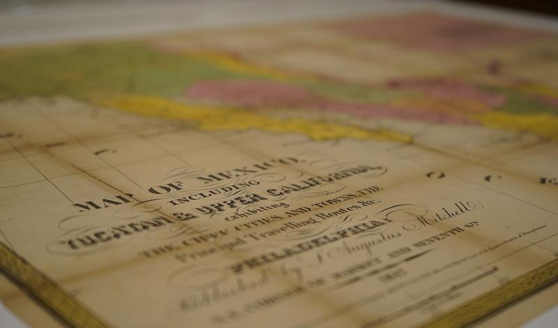
Virginia Garrett Cartographic History Library
The Virginia Garrett Cartographic History Library, established in 1978, includes thousands of maps and atlases, dating from 1493 to the present, specializing in maps relating to Texas, Mexico, the Gulf Coast, the Caribbean, and Africa.
The Garrett Cartographic Endowment, Endowed Chair in the History of Cartography, the biennial Lectures in the History of Cartography, and Award in the History of Cartography all support this mission and these collections.
Holdings are exceptionally strong in 19th-century printed maps depicting Texas, from the years under Spanish Colonial and Mexican rule, through the Republic period and early statehood to the end of the century. From the late 1970s until 1997, the collections’ curators worked collaboratively with Fort Worth map collector and donor Virginia Garrett (1920-2012) to acquire early printed and manuscript maps depicting the area that became Texas, including the Gulf of Mexico, the American Southwest, the United States, and Mexico.
Since 1990, when Mrs. Garrett donated her collection of atlases, geographies, and cartographic books, and 1997, when she donated her personal map collection, the Library has continued to acquire cartographic materials of all kinds and types in these and other categories to complement these collections. Some of these collecting areas were suggested by:
-
geography (such as maps of Caribbean islands)
-
exhibit theme-related (such as maps and religion)
-
subject areas (such as maps commissioned by chartered companies and railroad maps)
-
time periods (such as facsimiles of Ancient, Medieval and Renaissance maps not available as originals)
A useful link is Cartographic Connections, which visually displays certain important maps in the collections.
While the Garretts’ generous donations have received justly-due attention, other map collectors and institutions have also given generously and are worthy of note:
-
A grant from the Sid W. Richardson Foundation helped UTA establish the Cartographic Library in 1978.
-
Map collectors Ted W. Mayborn (1909-1996) and Lewis M. Buttery (1924-2008) and his wife Virginia donated hundreds of maps and numerous atlases to the Libraries.
-
UTA History Professor Emeritus Dennis Reinhartz donated his personal collection of maps of eastern Europe, other maps, and “cartifacts,” which he had used in teaching cartographic history.
Many other individuals and several institutions have also supported the Cartographic Library. More recently, DeGolyer and MacNaughton, Inc., the world-wide petroleum consulting firm headquartered in Dallas, donated a number of 20th-century maps from around the world, and Maxine Johnston of Batson, Texas, donated several 18th- and 19th-century European maps and 20th-century pictorial theme maps collected by her late friend Alice Cashen.
The Libraries has a large collection of 19th- and 20th-century commercial atlases, school atlases, geographies, and gazetteers from various donors, including Virginia Garrett, Lewis and Virginia Buttery, and map and globe dealer Murray Hudson of Halls, Tennessee.
The Libraries actively collects secondary works dealing with cartographic history and exploration whether by purchase or donation. The Libraries even collects secondary works on pirates and their relation to maps.
Moreover, thousands of the rare books on Texas, the United States, and Mexico in the Jenkins Garrett Library and Special Collections include maps and plans.
Several manuscript collections within Special Collections contain hand-drawn and printed maps and other cartographically relevant materials. Examples include the Antonio Nixon Collection (GA120-130), which includes land survey plats from the Republic of Texas period, and the Benham Family Papers (AR388), which include maps constructed by and belonging to U.S. Army Engineer Henry Washington Benham (1813-1884), dating from the U.S. - Mexico War (1846-1848) and the U.S. Civil War.
In addition to maps available through the libraries’ catalog and electronic finding aids on Texas Archival Resources Online (TARO), several collections may be accessed through databases available at the Special Collections Reference Desk:
-
Road Maps Collection (AR442) – mostly acquired by random donations, largely focused upon Texas.
-
Topographic Maps of Texas Collection (AR 540) – includes printed maps of Texas by the United States Geological Survey (USGS) dating from the 1890s to the 1990s. The Library also has some print USGS maps of neighboring states.
-
MAPSCO Collection (AR445) – a collection of street maps of various cities, mostly in Texas, dating primarily from the 1960s through the early 2000s, donated by MAPSCO, Inc., a mapmaking firm formerly headquartered in Dallas, Texas.
-
National Geographic Map Collection – printed maps from National Geographic magazine, most of which were donated by Virginia Garrett.
-
Dallas-Fort Worth Aerial Photograph Collection – a series of aerial photographs of Dallas, Tarrant, and surrounding counties from 1984, 1987, 1990, and 1997 donated by the North Central Texas Council of Governments (NCTCOG)
-
Fire Insurance Maps for North Central Texas Cities (AR378) – highly detailed city plans dating from the early 20th century.
-
FEMA Maps Collection (AR444)– printed flood insurance maps of Texas from the Federal Emergency Management Agency (FEMA).
-
Petermanns Geographische Mittheilungen (PGM) – hundreds of maps and accompanying articles in German describing areas around the entire globe dating from 1855-1990. This is one of the most complete sets in the U.S. of the actual printed regular series volumes of the most important cartographic journal of the second half of the 19th century.
