2021 Virginia Garrett Lectures
The 12th Biennial Virginia Garrett Lectures on the History of Cartography will take place September 30 - October 2, 2021. This year's theme is "Coordinating Cartographic Collections." UTA Libraries Special Collections is proud to announce our amazing guest speakers this year.
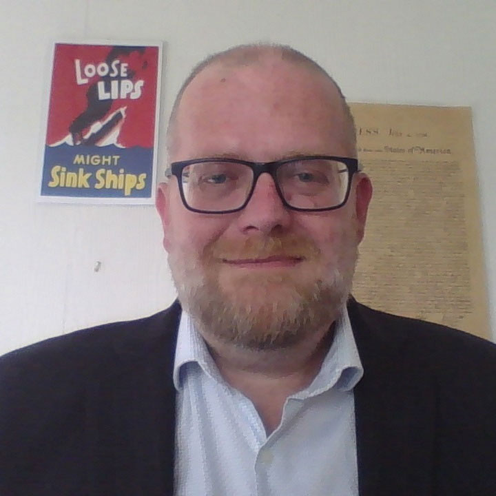
Wulf Bodenstein, PhD

New Life for an Old Map: the Retrieval of Pieter Verbist’s Unique 1644 Wallmap of Africa and its Place in the AfricaMuseum’s Map Collection
The Royal Museum for Central Africa in Tervuren near Brussels, commonly called the AfricaMuseum, is considered to be the finest and most imposing museum of its kind in the world. Its history is inseparably linked to the colonial past of the Congo, now the Democratic Republic of the Congo, the second largest country in Africa. Initially Belgian King Léopold II’s personal domain from 1885 to 1908 and then Belgium’s colony until independence in 1960, the Congo was the source of the Museum’s incredibly rich collections in the departments of Cultural Anthropology and History, Biology, and Earth Sciences. In perspective, the 600 ancient and about 3.000 more recent maps of Africa and of Central Africa held in the History section constitute a collection of minor importance. However, a few items are worth noting, above all a singular ‘carte-à-figures’ of the 17th century, the subject of this presentation.
Shortly after joining the AfricaMuseum as a volunteer in 1996 to look after this collection of maps, I discovered a wall map of Africa which had been exposed for many years as part of the Museum’s permanent exhibition, in rather unfavourable conditions of light. Closer inspection revealed its degraded state of conservation, necessitating urgent intervention. In 2004, the restoration department of the Bibliothèque Nationals de France accepted this delicate task, saving our map from further deterioration. A special plexiglass box was constructed for its preservation and occasional transport to exhibitions, and so our treasure is now safe.
Subsequent bibliographical research confirmed the historical importance of this map. A re-edition of Willem Blaeu’s seminal wall map of 1608, it is the only wall map of Africa produced in Antwerp by Pieter Verbist and one of only four such maps on record, that is complete with decorative borders and surrounding texts in Latin, Dutch and French. Curiously, whilst its existence had been known to map historians, its location remained shrouded in mystery, a point that will be elucidated.
Blaeu’s original map design was of such authoritative format that mapmakers copied it for their Africa maps up to the early 18th century, as will be shown in a few examples from our collection.
Daniel Degges, PhD
Reimagining Notions of Exploration: Mapping Colonialism in British and American West Africa, 1751-1847
I would like to present the involvement of African-Americans through the American and British colonies in West Africa in the exploration of the region before the end of slavery in the US.
Imre Joseph Demhardt, PhD
The Skeleton Coast and the “Land that God Created in Anger.”
The portrayal of a portion of the African continent and its changing map image between about 1500 and the 1900s. This approach enables to include many of Franke’s maps, which will please our benefactor, and link to Bodenstein’s 1644 map. To complement the regional foci in the talks / exhibit by Franke, Bodenstein,
Already the Ancient held that ‘Africa always brings us something new’ (Pliny the Elder). Over the centuries, the landscapes and changing socio-economic patterns are reflected in a rich cartographic heritage, yet few collections have made the continent a focus of their efforts. To encourage private as well as institutional collections to get Africa on their mental map, this presentation introduces, as a regional case study, to the Skeleton Coast in southern Africa and its hinterland. Only at first glance, both seem to be less spectacular than household names like the countries of the mighty Nile or the infamous slave factories in West Africa. A closer look, however, will demonstrate that southwestern Africa like almost any part of the continent boasts a rich map heritage.
The Portuguese discovered the Skeleton Coast in the late 15th century, but the eponymous circumstance pointing to its inaccessibility (for sailing ships) and misperceptions about the hinterland let it to the 19th century to realize the vast resources of both surf and turf. Once exploration was triggered, this quickly pulled the rug out from under centuries of cartographic fantasies. Traders, travelers, and missionaries rapidly provided details to draw evermore precise and large-scaled maps. Many map stories will be told, including of a German colonial administration that did not live up to literal German effectiveness, a railroad worker’s chance find being the wing flapping of a butterfly that launched modern mapping, and a mountain mystery that hid in plain eyesight.
Toyin Falola, PhD
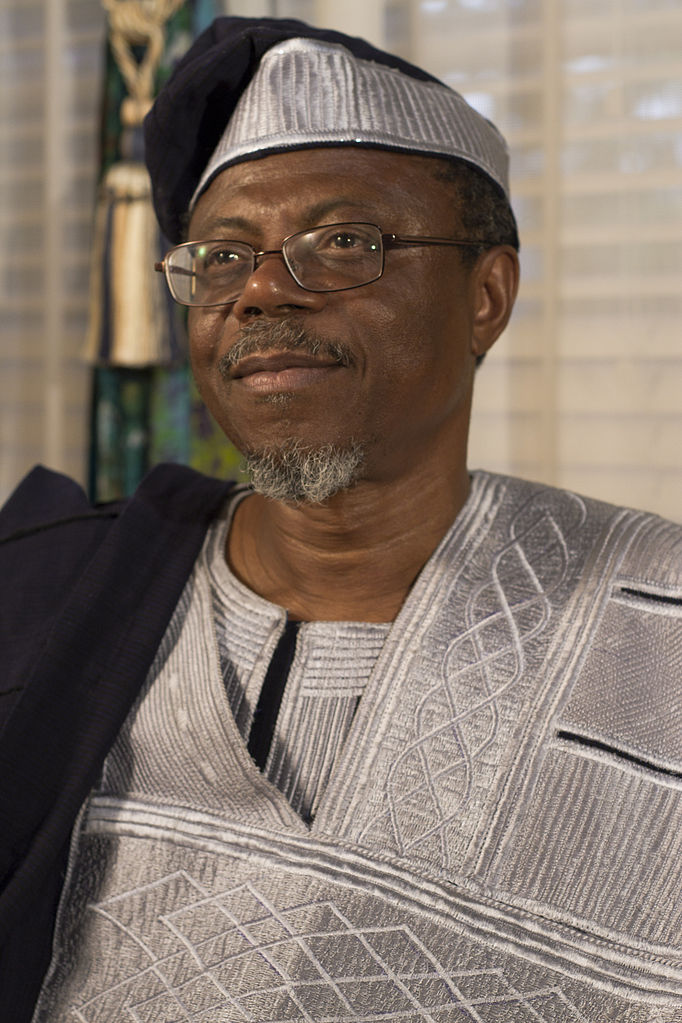
Why African History Matters
Until the 19th century, Africa (and its people) were often conceived as a continent of savages and backward-thinking occupiers. The theory that Africa was a "dark continent" inhabited by people who have never contributed anything meaningful to world civilization permeated much of the western institutions and served as a premise for the emergence of missionary enterprise and later colonization of the continent. While this position has proved untrue over time, given the response and intervention of African-based and Africanist scholars beginning from the mid-twentieth century, the gains appear to have rolled back in recent times. African people and cultures are derided abroad and despised by the uninformed among the people, given the systemic narrative from global media, which seems not to be far-fetched from the contemporary developments of modern African states. This emerges as a consequence of the arguments by western scholars on the racial divides that erroneously advance one culture over the other. In this Lecture, I draw on four frames–Ethnocentrism, Archaeology and the Writing of Human History, Cultural Circulation and the Formation of Ancient and Contemporary Cultures, and Pluriversalism against Universalism. I draw my conclusions from the above to emphasize the importance of studying African history and the need for further liberalization of the School of African Studies in Western universities to explain the trajectory of the emergence of African history.
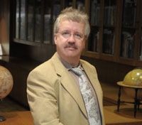
Jack Franke, PhD

A Grateful Maverick
Although often referred to as the “cradle of humankind,” Africa is one of the last continents to be fully explored. Indeed, only in the latter part of the 19th century was Africa fully documented--geographically speaking. In an effort to enhance the sterling reputation of UTA and to strengthen the UTA library’s holdings in transatlantic history, art history, and special collections, Dr. Franke has endeavored to build one of the strongest Africa map collections in the United States.
The genesis of this endeavor is Dr. Franke’s gratitude toward his mentors and alma mater. In this talk the author will provide an overview of the collection, key aspects and cornerstones of the collection, and future steps. Above all, Dr. Franke would like to express his deep appreciation for those who have provided the ability and the skills to build a world-class map collection.
International Cartographic Association Commission on the History of Cartography Speakers
Eva Chodejovska, Jiri Dufka, Milos Pacek, Petr Zabicka Moravian Library in Brno, Czech Republic
Unified Descriptive Standards as a Road to Interoperability: Best Current Practice Concerning Old Maps in Czech GLAM Institutions
Drawing on their own experience with the extensive collection of old maps in the Moravian Library, a team of researchers prepared in 2020 two fundamental manuals. They describe how maps should be handled in memory institutions in the Czech Republic; the basic principles apply on a general level.
One document is a manual for GLAM institutions on handling cartographic documents: record-keeping, cataloguing, digitisation, preservation of the digital data, and issues regarding user access.The manual sums up previously used processes and puts forward the best current practice in cataloguing, digitisation, and presentation of maps. In regards to cataloguing, it recommends using descriptive standards (RDA, MARC, MODS) and open source online cataloguing tools developed by the Moravian Library, such as Mapseries, Map Scale Calculator, BoundingBox and Georeferencer. The manual offers recommendations on digitisation (e.g. selecting the document to digitise, avoiding duplicity, and setting proper scanning parameters, working with metadata, stitching image files when digitising large-format maps) and gives advice on long term preservation of digital data. Other recommendations are concerned with presentation of cartographic documents through online map collections (atlases, individual maps, and extensive map series).
The second manual narrows down these instructions and recommendations to maps stored in state archives. The manual established a standard which takes into account that the Czech archive administration uses two different record-keeping software systems (ProArchiv Bach, developed by a private company, and ELZA, a software developed by a team of archivists and IT experts), neither of which has a fully developed researcher UI. In accordance with the basic guidelines for handling archival materials in the Czech Republic (Základní pravidla pro zpracování archiválií), the manual includes guidance notes on handling rare documents, archival description standard for maps, specific elements used in archival description and the proper format used to record them, and finally tools (analogue and digital) which would enable better access to maps in archives.
When drawing up both documents, the authors aimed to produce a manual which would facilitate curators to keep records consistent and at the same time provide users with easier access. Using geographic criteria is crucial in terms of clear presentation to users as well as record-keeping and archival description. The geographic coordinate system allows experts as well as the broader public to use old maps with greater efficiency. Apart from Moravian Library’s digital map catalog or the online map collection mapy.mzk.cz, Map Rank Search is used in the international search engine OldMapsOnline.org; a project on whose development the Moravian Library participated from the very beginning and which indexes a number of map series from Czech and foreign GLAM institutions. Collections largely assembled in state institutions are typical for the Czech Republic, which enables unification of descriptive standards for GLAM institutions, facilitates interoperability, and subsequently trans-national aggregation of the collected data.
S. Max Edelson, PhD, University of Virginia
The Seymour I. Schwartz Collection of North American Maps, 1500-1800
Surgeon, map collector, and map scholar Seymour Schwartz bequeathed his map collection to the Small Special Collections Library at the University of Virginia. Following the receipt of these maps following his death in 2020, I’ve begun to plan new research, teaching, and scholarly events around it. (In addition, I’ve been tapped to organize the 2022 symposium at George Washington’s Mount Vernon, which will focus on the Richard H. Brown Revolutionary War Map Collection.) My presentation will introduce participants to Schwartz, his maps, and the opportunities and challenges of working with and presenting the collection. It will address digitization and visualization, scholarly interpretation and dissemination, and the special challenge of working with Schwartz’s considerable body of map scholarship focused on items in the collection. In particular, I’d like to advance a reconsideration of Schwartz and Ehrenberg’s Mapping of America and suggest ways in which its cartobibliographic approach to early American map history should be revised to make the most out of this collection. In this regard, I’ll adopt the critical perspective advanced by Matthew Edney in his Cartography: The Idea and its History. How should we feature Schwartz’s intellectual engagement with these maps as part of any useful presentation of his map collection? How can we reconstruct the choices that composed this collection, ranging from the map marketplace to the personal preferences of the collector? Is the collection worthy of study in its own right, or is it merely the sum total of the individual maps that make it up? By posing preliminary answers to these questions, I hope to contribute to a lively discussion on best practices, public history, and new directions in map history.
S. Max Edelson is Professor of History at the University of Virginia. He is the author of The New Map of Empire: How Britain Imagined American before Independence (Harvard, 2017) and the co-creator of MapScholar, a web app for map history visualization. He is currently researching a new book on how English colonizers acquired and revised geographic knowledge of interior spaces in seventeenth-century North America and the West Indies.
Thomas Horst, University of Lisbon and Robert Karrow, The Newberry Library, Chicago
Towards a Cumulative, Open, Online Bibliography of the Literature of the History of Cartography
Since the first issue of Imago mundi (IM) : The International Journal for the History of Cartography, published in Berlin in 1935, it has produced annually, with only a few exceptions, a bibliography of the books, articles, and exhibit catalogs pertinent to map history. Including the most recent issue these bibliographies list a total of just over 20,000 items. This number is amazing and a real tribute to the dozen or so individuals who have over the years volunteered to build this bibliographic edifice, and it must surely be a boon to any new student of the subject who comes along. But how useful is it, really, outside of an immediate skim to notify oneself of interesting work one wants to look at?
Imagine a student, new to the field, who develops an interest in the mapping of a geographic area, or a mode of mapping, like aerial mapping, the mapping of economic conditions, mine mapping, or medieval local maps, or the practice of copper engraving, or the mapping of Central Asia? How does he or she access this bibliographic trove?
The fact is that a thorough literature search using the IM bibliographies, whether hard copy or online would be exceedingly difficult and probably not get done. But the good news, indeed, the excellent news is that it does not have to be this way. With the help of the open-source reference management software ZOTERO we were able to record all bibliographical entries from the first 11 volumes. These data, when transferred to the database IsisCB Explore, will join the 3,000 entries of cartographic interest already there; moreover they will be searchable by all curator-added entry points, and by all words in titles and abstracts.
Professor Dr. Stephen Weldon (University of Oklahoma, editor of the Isis Bibliography of the History of Science, and moderator of IsisCB Explore) is eager to add references to historical-cartographical literature to that database, and even, perhaps, to make possible a separate database with its own front page, using the IsisCB software.
Our presentation will sketch the history of the IM and Isis bibliographies, the efforts being made to digitize all previous IM printed bibliographies, and how we add them to IsisCB. Moreover, a live demonstration of IsisCB Explore will not only demonstrate how useful this tool can be for research in the history of cartography, but also its close relations to the history of science.
Janet Reyes, University of California, Riverside Library
Navigating a Map Collection Review as a New Librarian
Map collection downsizing has become a common occurrence in libraries in recent years due to competing demands for space, the large footprint of map collections, and the increasing availability of digital geospatial materials.
Removing items from a map collection is often a daunting and emotionally fraught task for experienced collection managers, but perhaps even more so for map collection curators who have had minimal prior exposure to librarianship. The latter is also a common scenario in libraries, as those tasked with managing map collections bring to their position varying degrees of familiarity with geospatial materials, librarianship, and project management.
The experiences and lessons learned from one such institutional case study, at the University of California, Riverside Library in 2018-19, can provide useful insights for others embarking on a map collection review. The project at UCR Library involved: assessing the tasks, and the time and staff needed to perform them; developing criteria for retaining or removing maps; working with other library units and a third-party cataloging vendor; and establishing workflows and documenting methodologies, especially for sheet maps being retained, dispersed, or disposed. Challenges for the librarian conducting the review included limited knowledge about cataloging, discovering two sets of CIA maps that were both classified and filed differently, and learning about FDLP requirements on the fly.
The map collection review and subsequent move were successfully completed by the deadline. In the process, more than 1500 previously uncataloged sheet maps were added to the catalog, hundreds of damaged maps received preservation treatment, and new homes were found for a substantial number of maps and atlases. The number of map case drawers housing the sheet map collection decreased from 625 to 270. The overall experience prompted the idea for creating a map collection review workbook.
Janet Reyes has been the Geospatial Information Librarian at University of California, Riverside since 2016. Prior to joining the librarian profession, she used GIS to create and edit maps for Aerial Information Systems, occasionally managing mapping projects as well. Janet has a B.S. in Natural Resources from Cornell University and an M.S. in Physical Geography from Oregon State University.
Martijn Storms, Leiden University
The Atlases of Bodel Nijenhuis
In 2022, it is 150 years ago that map collector Johannes Tiberius Bodel Nijenhuis (1797-1872) died. He bequeathed his enormous collection of c. 50,000 maps, c. 22,000 topographical images and c. 300 atlases to Leiden University Libraries. In this paper I will focus on the atlases that Bodel Nijenhuis let to the university library. Up to now, no clear overview is made of atlases from his possession. They are included in the atlas collection of the library, which includes titles of various provenance.
An interesting aspect is that Bodel Nijenhuis’s library was not part of the bequest. More than a year after Bodel Nijenhuis died, this large library was auctioned in various sessions. Added together, the book auctions counted 6,814 lots. The auctions took place in the house of the deceased. Since the book auctions include several geographical and even cartographical titles, the question is raised what is an atlas? Which criteria applied whether a title was counted as part of the legacy?
For this paper, documents related to the transfer of the bequest in 1872, present in the archives of the university and library, have been re-examined. This provides insight into the acceptance of the legacy by Leiden University Library, and into which atlases the donation consisted of. During his life Bodel Nijenhuis collected both antiquarian and contemporary atlases.
Martijn Storms MA (Arnhem, 1978) studied human geography and planning at Utrecht University. He is curator of maps and atlases at Leiden University Libraries and prohject coordinator for Koeman’s Atlantes Neerlandici at Brill publishers.
Petra Svatek, PhD, Austrian Academy of Sciences
The Woldan Collection: History and Digital Processing
The Woldan Collection is one of the most important private map collections in Europe. It was founded by the Viennese private scholar Erich Woldan (1901-1989) and became part of the Austrian Academy of Sciences after his death. It holds maps and geographical literature from the end of the 15th century to the beginning of the 20th century and comprises about 20,000 volumes and individual sheets. The aim of this lecture is to introduce this collection in more detail and then to refer to its digitisation projects. Until the 2010s, the collection could only be accessed via a library catalogue, which allowed research via bibliographic data and in no way took into account the individual content or spatial context. This changed in 2015, when it was decided to digitise maps and thus start the transfer of individual objects of the collection into a historical-geographical information system (HGIS).
The first project “Woldan goes digital” pursued the goal of starting the digitisation of the maps and inserting the data into a GeoNode-oriented system, whereby the availability of the scanned maps for both science and interested laymen was envisaged from the beginning. More than 400 map sheets could be scanned in this way and stored in Geotiff format. The result was a map portal that not only contains the scanned and subsequently prepared georeferenced maps, but also provides a lot of additional information on the environment of the maps.
The second digitisation project began in June 2018 and focused on Austrian railway maps from the 19th century, which were a collection priority for Woldan. For the project, the staff selected about 60 books, views and maps, which were scanned and then processed with a specific software programme. They decided on the programme “Goobi”, developed at the Göttingen company Intranda, which not only allowed the import of data from the library catalogue and the uploading of the scanned maps for digital presentation on the web, but also their content indexing.
In 2020, the Presidium of the Austrian Academy of Sciences took the decision to digitise the entire Woldan Collection in 2021/22 and to make the scanned books, atlases, views and maps accessible to all interested persons. This makes the Woldan Collection probably one of the first collections in the world to be able to present its entire holdings on the internet in a short time.
Petra Svatek studied history and geography at the University of Vienna and works as a historian of science at the Woldan Collection of the Austrian Academy of Sciences. Research areas: History of geography and cartography in a political context.
Texas Map Society Speakers
- Julie Baar
- Mya Lewis
- Leah McCurdy, PhD
- Barry Ruderman
- Joci Ryan, PhD
- Gerald Saxon, PhD
- Martin Van Brauman
- Catherine Williamson, PhD