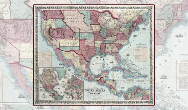
Paths To Highways: Routes Of Exploration, Commerce, And Settlement
One of many important functions of maps can be the depiction of paths, trails, routes, roads, and highways. Trails may appear bold or almost invisible, depending upon whether the cartographer’s aim for such depictions is primary, secondary, or even just an afterthought. The study of how trails became a part of the landscape as superhighways or were entirely forgotten can begin with old maps. Furthermore, a focus upon depictions of trails, routes, roads, and highways as a function of maps aids in a greater understanding of the maps themselves, their creators, and the history of the times that surrounded them.
This exhibit was created to accompany the Eleventh Biennial Virginia Garrett Lectures on the History of Cartography on the same theme. The Lectures series began in 1998 to promote the use of the University’s marvelous cartographic collections, of which only a tiny portion can be displayed at any one time. While digital reproductions have greatly enhanced the availability of cartographic knowledge, we sincerely hope that this exhibit of original maps and images also stimulated further interest and research.
CuratorBen Huseman and the staff of Special Collections
DesignCandy McCormic
LocationCentral Library, Special Collections
Date -
