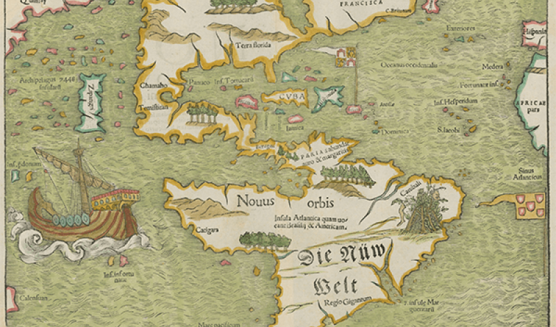
Maps & Atlases Collection
This collection contains a wide variety of folded and sheet maps as well as bound atlases. Types include topographic, geographic, political, commercial, historical, and thematic, as well as information related to topics such as natural resources, war, culture, language, demographics, and more.
Online Resources
-
Cartographic Connections features historic maps of Texas, the Southwest and beyond, dating from the 1500s through the 1900s.
-
Center for Greater Southwestern Studies and the History of Cartography promotes Southwest cartographic materials and research at UTA.
-
Texas Map Society fosters the study, understanding, and collecting of historical maps and the history of cartography.
-
Geographic Information Systems Subject Guide contains online resources related to GIS information and data sets.